
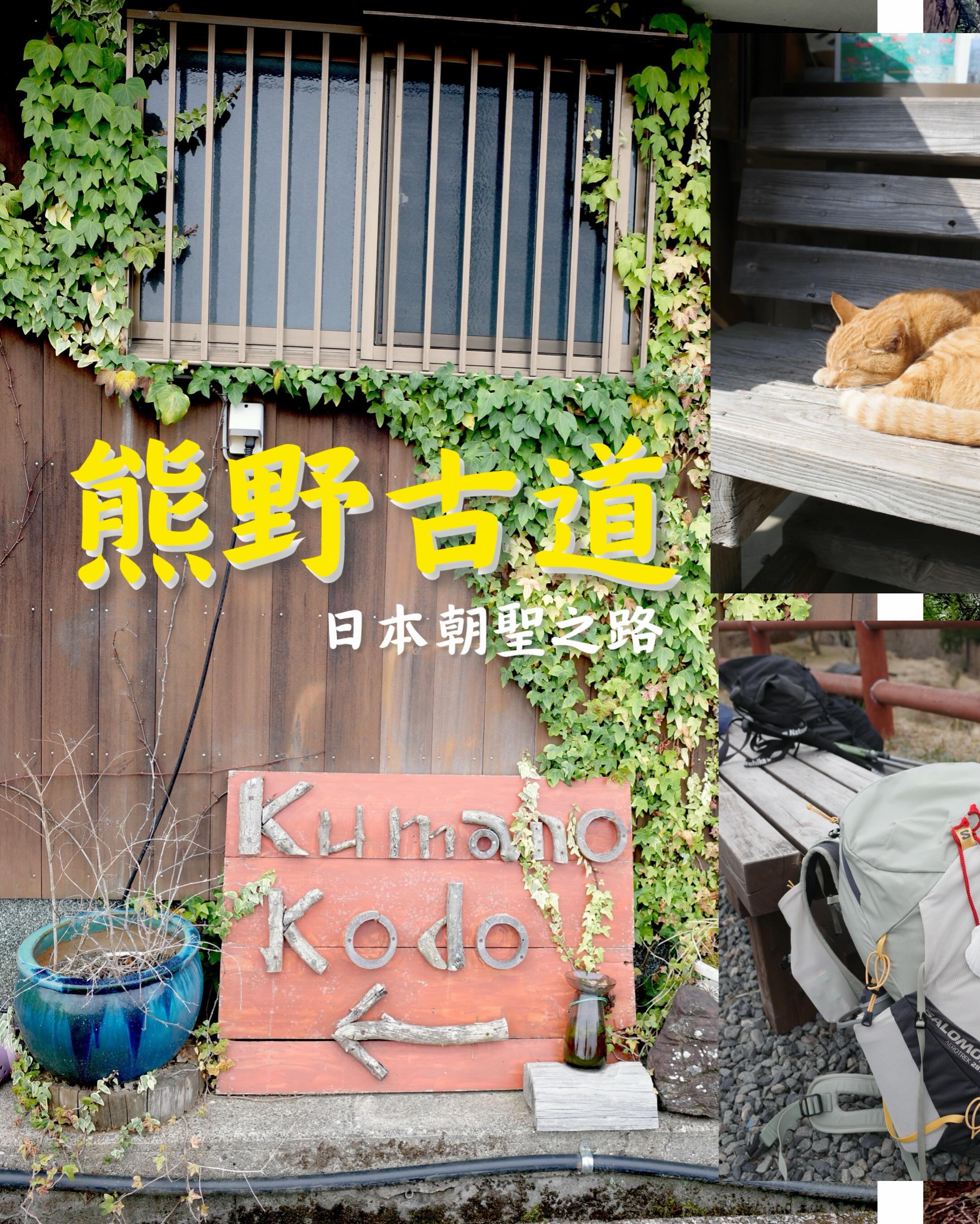
Kumano Kodo Nakahechi: 3-Day Route, Transport & Stays
熊野古道中邊路全攻略:3日路線、交通同住宿一次過睇
We just walked Japan's Kumano Kodo Nakahechi! Here's everything we learned: how to get there from Kansai Airport, our 3-day route with exact distance, elevation and time for each day, plus where we stayed every night.
💡 The Nakahechi is doable in 3 days: Takijiri-oji → Chikatsuyu-oji → Kumano Hongu Taisha → Kumano Nachi Taisha. From Kii-Tanabe station, the trailhead starts at Takijiri — just catch the bus at stop #2 outside the station.
Getting there & back
We flew into Kansai Airport, took the JR line via Hineno to Kii-Tanabe, then hopped on the bus at stop #2 outside the station — about 40 minutes later you're at Takijiri, the trailhead. Easy!
For the way back we started from Shingu: Shingu → Kii-Tanabe → Gobō → Wakayama → JR Namba, which drops you right in central Osaka — perfect for sleeping off three days of hiking on the train.
For the way back we started from Shingu: Shingu → Kii-Tanabe → Gobō → Wakayama → JR Namba, which drops you right in central Osaka — perfect for sleeping off three days of hiking on the train.
Our 3-day route at a glance
| Day | Section | Distance | Climb | Time | Stay |
|---|---|---|---|---|---|
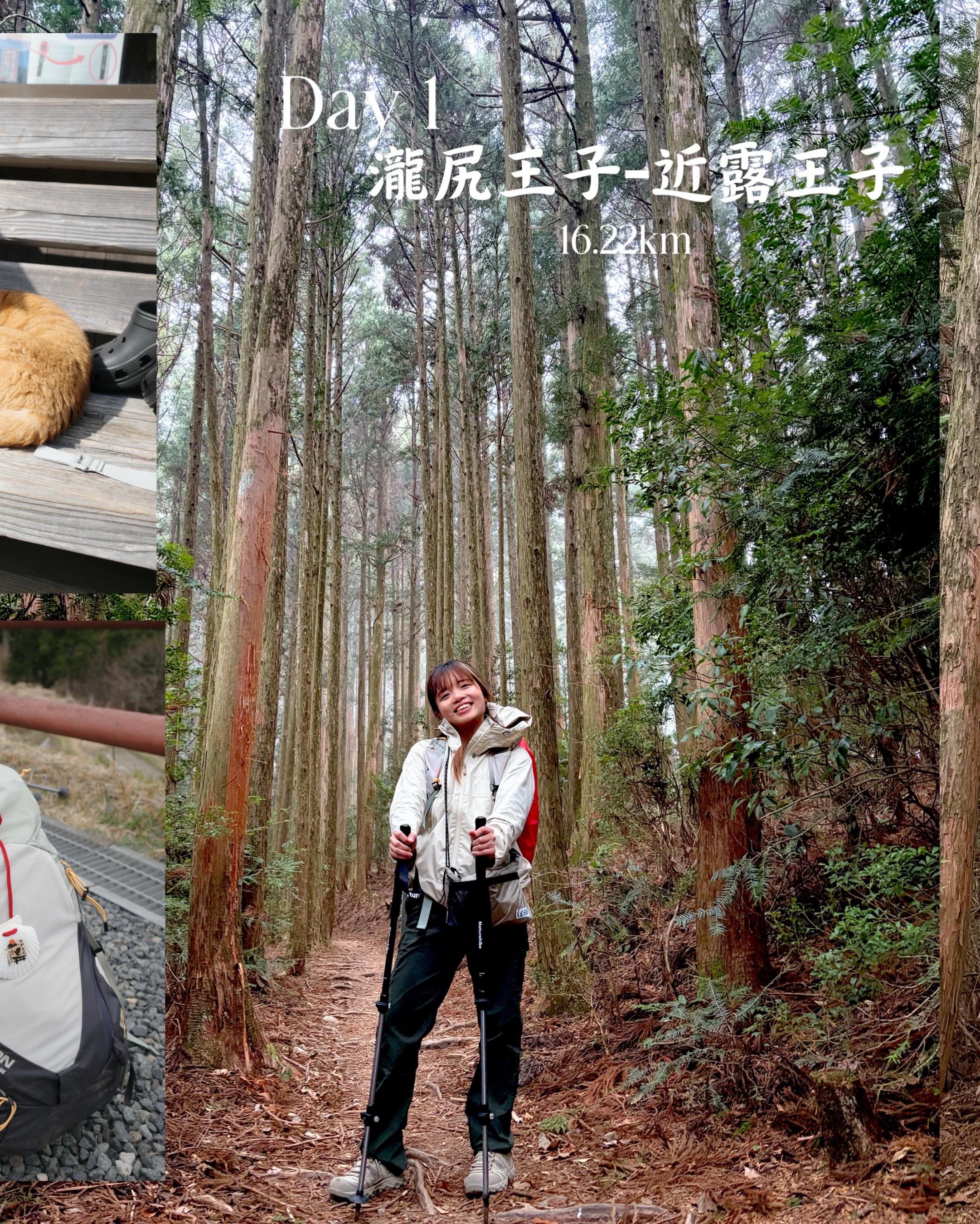
| Day 1 | Takijiri-oji → Chikatsuyu-oji | 16.22 km | +1,008 m | 5h36m | Kodai no Miyako 古道の都 (Booking.com) |
| Day 2 | Chikatsuyu-oji → Kumano Hongu Taisha | 26.46 km | +1,022 m | 7h30m | J-Hoppers Kumano Yunomine (Booking.com) |
| Day 3 | Hongu → Koguchi → Kumano Nachi Taisha | 28.61 km | +1,825 m | 8h11m | Jiyu Jiya 自由自屋 (Booking.com) |
All three days add up to 71.29 km and 3,855 m of climbing — these are our own logged stats, and every stay was booked on Booking.com.
|---|---|---|---|---|---|
| Day 1 | Takijiri-oji → Chikatsuyu-oji | 16.22 km | +1,008 m | 5h36m | Kodai no Miyako 古道の都 (Booking.com) |
| Day 2 | Chikatsuyu-oji → Kumano Hongu Taisha | 26.46 km | +1,022 m | 7h30m | J-Hoppers Kumano Yunomine (Booking.com) |
| Day 3 | Hongu → Koguchi → Kumano Nachi Taisha | 28.61 km | +1,825 m | 8h11m | Jiyu Jiya 自由自屋 (Booking.com) |
All three days add up to 71.29 km and 3,855 m of climbing — these are our own logged stats, and every stay was booked on Booking.com.
Day by day notes
Day 1: Takijiri-oji → Chikatsuyu-oji (16.22 km)
Takijiri-oji is the formal gateway to the Kumano Kodo — the UNESCO-registered section starts right here. Day 1 is the steep climb into the mountains, and Chikatsuyu sits roughly halfway to Hongu Taisha, so it's the classic first-night stop.
Day 2: Chikatsuyu-oji → Kumano Hongu Taisha (26.46 km)
Our longest day. The finish line is Kumano Hongu Taisha, one of the three grand shrines of Kumano (Kumano Sanzan) — reaching it means you've completed the classic Nakahechi core section.
Day 3: Hongu → Koguchi → Kumano Nachi Taisha (28.61 km)
The toughest day — 1,825 m of climbing! This leg follows the historic mountain route from Hongu to Nachi through the little village of Koguchi, ending at Kumano Nachi Taisha with Japan's tallest waterfall, the 133 m Nachi-no-Otaki, right next door. The finale does not disappoint!
Takijiri-oji is the formal gateway to the Kumano Kodo — the UNESCO-registered section starts right here. Day 1 is the steep climb into the mountains, and Chikatsuyu sits roughly halfway to Hongu Taisha, so it's the classic first-night stop.
Day 2: Chikatsuyu-oji → Kumano Hongu Taisha (26.46 km)
Our longest day. The finish line is Kumano Hongu Taisha, one of the three grand shrines of Kumano (Kumano Sanzan) — reaching it means you've completed the classic Nakahechi core section.
Day 3: Hongu → Koguchi → Kumano Nachi Taisha (28.61 km)
The toughest day — 1,825 m of climbing! This leg follows the historic mountain route from Hongu to Nachi through the little village of Koguchi, ending at Kumano Nachi Taisha with Japan's tallest waterfall, the 133 m Nachi-no-Otaki, right next door. The finale does not disappoint!
Where we stayed
All three nights were booked on Booking.com:
- Night 1: Kodai no Miyako (古道の都) — near Chikatsuyu where Day 1 ends; a cosy traditional lodge, perfect after your first day on the trail.
- Night 2: J-Hoppers Kumano Yunomine — in the hot-spring village of Yunomine Onsen, just a short hop from Hongu Taisha. Soaking in an onsen after the longest day was pure bliss.
- Night 3: Jiyu Jiya (自由自屋) — near Koguchi, straight to bed after the hardest day.
Most places along the trail are small minshuku-style guesthouses with limited rooms — book early in peak season!
- Night 1: Kodai no Miyako (古道の都) — near Chikatsuyu where Day 1 ends; a cosy traditional lodge, perfect after your first day on the trail.
- Night 2: J-Hoppers Kumano Yunomine — in the hot-spring village of Yunomine Onsen, just a short hop from Hongu Taisha. Soaking in an onsen after the longest day was pure bliss.
- Night 3: Jiyu Jiya (自由自屋) — near Koguchi, straight to bed after the hardest day.
Most places along the trail are small minshuku-style guesthouses with limited rooms — book early in peak season!
Original post (verbatim) 熊野古道·中邊路(日本朝聖之路) ✨交通路線住宿篇✨ 《交通》 去程 關西機場->日根野->紀伊田邊 紀伊田邊站外2號乘車處乘搭巴士去「滝尻站」(起點) 回程 新宮->紀伊田邊->御坊->和歌山->JR難波 《行山路線》 Day 1 瀧尻王子-近露王子 16.22km/爬升1008m/5h36m 住宿:古道の都(Booking.com) Day 2 近露王子-熊野本宮大社 26.46km/爬升1022m/7h30m 住宿:J-Hoppers Kumano Yunomine(Booking.com) Day 3 本宮-小口-熊野那智大社 28.61km/爬升1825m/8h11m 住宿:自由自屋(Booking.com)